-
About Upazila
Introduce to Upazila
History & Tradition
Geography & Economic
-
Upazila Parishad
Current Parishad
Activities
-
About Upazila Administration
Upazila Nirbahi Officer
About Organogram
Schedule & and Meeting
- Lama Municipality
-
Government office
Law and order is a matter of security
Education and culture
Agriculture, fisheries, animal and food matters
Health and environmental issues
Engineering and information and communication technology
Human resource development issues
ভূমি ও রাজস্ব বিষয়ক
-
Different Institutions
Educational Institutions
Religious Institutions
- e-Services
- Gallery
- Communication
- UGDP
- Logic Project
মেনু নির্বাচন করুন
-
About Upazila
Introduce to Upazila
History & Tradition
Geography & Economic
-
Upazila Parishad
Current Parishad
Activities
-
About Upazila Administration
Upazila Nirbahi Officer
About Organogram
Schedule & and Meeting
-
Lama Municipality
লামা পৌরসভা
-
Government office
Law and order is a matter of security
Education and culture
Agriculture, fisheries, animal and food matters
Health and environmental issues
Engineering and information and communication technology
Human resource development issues
ভূমি ও রাজস্ব বিষয়ক
-
Different Institutions
Educational Institutions
Religious Institutions
- e-Services
-
Gallery
Photo Gallery
Video Gallery
Covid-19 reg
-
Communication
Communication Lama Upazila
-
UGDP
Activities
-
Logic Project
Local Adaptation Plan of Action
লজিক প্রকল্প (২০২৩-২৪)
Main Comtent Skiped
Location
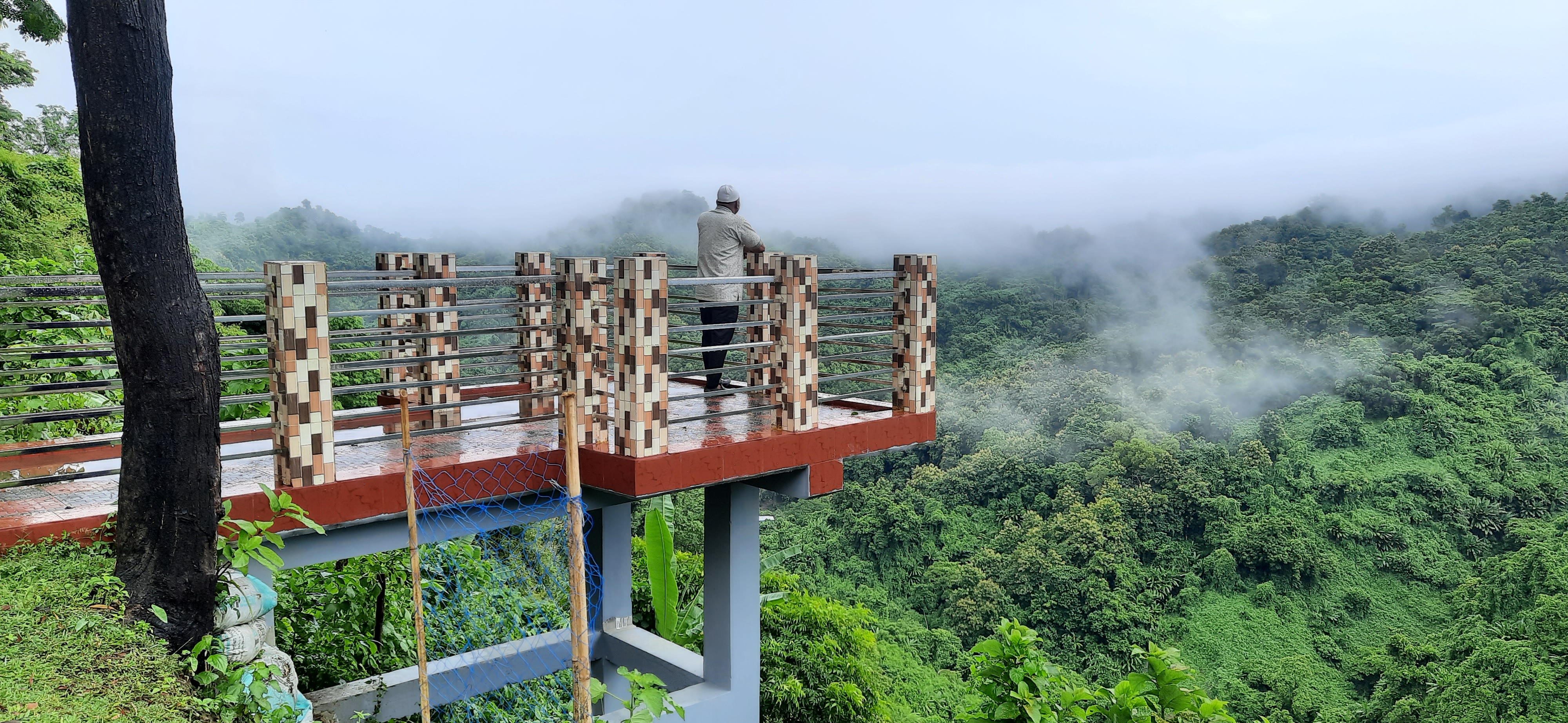
With an area of 61.84 sq km, the river area is 8.173 sq km, the reserved forest area is 332.628 sq km and the cultivable land area is 260.845 sq km. At present most of them are cultivated and settled. The upazila is situated between 21.38 to 21.59 north latitude and 92.04 to 92.23 east longitude and 29.7 m above sea level.
Site was last updated:
2025-07-22 14:53:24
Planning and Implementation: Cabinet Division, A2I, BCC, DoICT and BASIS


