-
About Upazila
Introduce to Upazila
History & Tradition
Geography & Economic
-
Upazila Parishad
Current Parishad
Activities
-
About Upazila Administration
Upazila Nirbahi Officer
About Organogram
Schedule & and Meeting
- Lama Municipality
-
Government office
Law and order is a matter of security
Education and culture
Agriculture, fisheries, animal and food matters
Health and environmental issues
Engineering and information and communication technology
Human resource development issues
ভূমি ও রাজস্ব বিষয়ক
-
Different Institutions
Educational Institutions
Religious Institutions
- e-Services
- Gallery
- Communication
- UGDP
- Logic Project
-
About Upazila
Introduce to Upazila
History & Tradition
Geography & Economic
-
Upazila Parishad
Current Parishad
Activities
-
About Upazila Administration
Upazila Nirbahi Officer
About Organogram
Schedule & and Meeting
-
Lama Municipality
লামা পৌরসভা
-
Government office
Law and order is a matter of security
Education and culture
Agriculture, fisheries, animal and food matters
Health and environmental issues
Engineering and information and communication technology
Human resource development issues
ভূমি ও রাজস্ব বিষয়ক
-
Different Institutions
Educational Institutions
Religious Institutions
- e-Services
-
Gallery
Photo Gallery
Video Gallery
Covid-19 reg
-
Communication
Communication Lama Upazila
-
UGDP
Activities
-
Logic Project
Local Adaptation Plan of Action
লজিক প্রকল্প (২০২৩-২৪)
Historical context of the lama at a glance
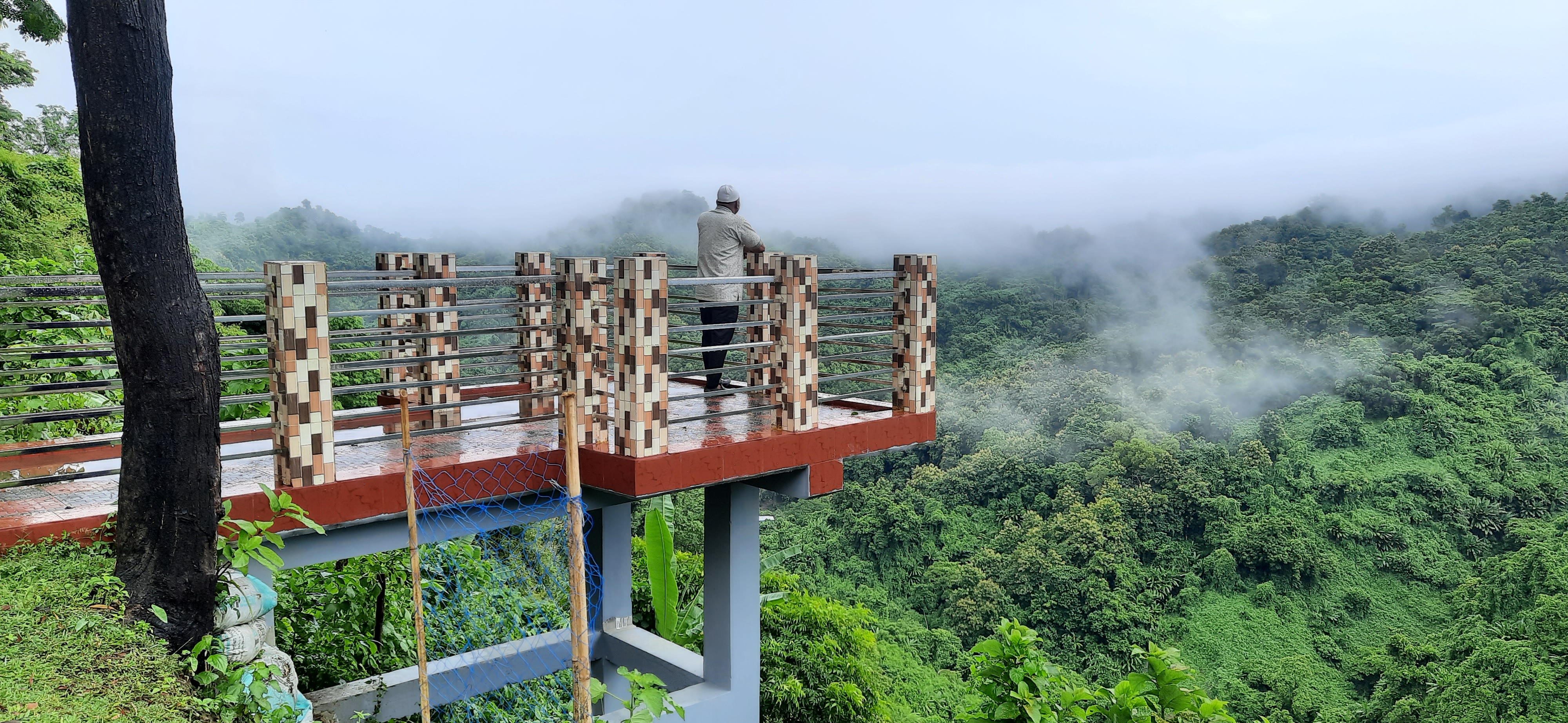
Aranyarani Lama is full of natural beauty and huge natural resources surrounded by eye-catching green soft forest. There are many small and big hills playing with spiral waves and rivers flowing through the hills. The Lama is rich in a combination of beautiful scenery and diverse cultural heritage, just like an artist's painting. Everywhere there is a wonderful picture of the green-green mountain range. The bond of harmony between Bengalis and tribes is one of the features of this upazila. Due to its geographical location surrounded by hills and rivers, it can be said to be more diverse than other districts and upazilas of the country. Alikadam and Naikhyangchhari upazilas in the south of the upazila, Ramu and Chakaria in Cox's Bazar and Lohagara upazila of Chittagong in the west, Sualak union of Bandarban in the north, Thanchi and Ramnama upazilas of Bandarban in the east.
With an area of 61.84 sq km, the river area is 8.173 sq km, the reserved forest area is 332.628 sq km and the area under cultivable land is 260.845 sq km. At present most of them are cultivated and settled. The upazila is situated at 21.38 to 21.59 north latitude and 92.04 to 92.23 east longitude and 29.8 m above sea level. The height of the hills here is 200 to 300 meters. The once inaccessible hill lama is now a bustling developing tourist town. The magnificent natural beauty, the winding Matamuhuri River, the high peaks of the sad and forward hills, the former Bilchhari Mahamuni Buddhist Monastery and the Quantum Foundation, known as the pilgrimage place for Buddhists, make it easy for tourists to travel from home and abroad. Moreover, the ethnic people living in this upazila have different languages and cultures. Many of their customs, agriculture, social life and glorious cultural heritage have made the culture of Bangladesh glorious and diverse.
Planning and Implementation: Cabinet Division, A2I, BCC, DoICT and BASIS


